A gorgeous weekend awaits WNC with mostly sunny skies, and high temperatures that push into the upper 50’s and low 60’s for many locations! This will be dramatically different compared last weekend when it was miserable to be outside. Take advantage of this and get outside!
Finally A Dry Weekend
If it hasn’t been rainy, it’s been cold over the past several weekends.. but this weekend will be a nice change from that. Outdoor activities should go off without a hitch, and short sleeves will feel like an option.
Cold Front Moves Through Tuesday
These temperatures will be nice, but it is November and the cold can return quickly. A front will move through on Tuesday with minimal rainfall, but temperatures will drop below freezing again behind it around WNC. Both GFS and Euro show this and the GFS even hints at a bit of Northwest flow snow on Tuesday evening in the highest elevations, but nothing is certain there.
Rainfall Returns To End Next Week
Looking into the long range, models indicate that some sort of Gulf low will develop late next week, and could bring heavy rainfall to WNC once again. The wintery threat with this storm at the moment looks minimal, but flooding rainfall looks possible. Check back soon for another update, and have a great weekend!

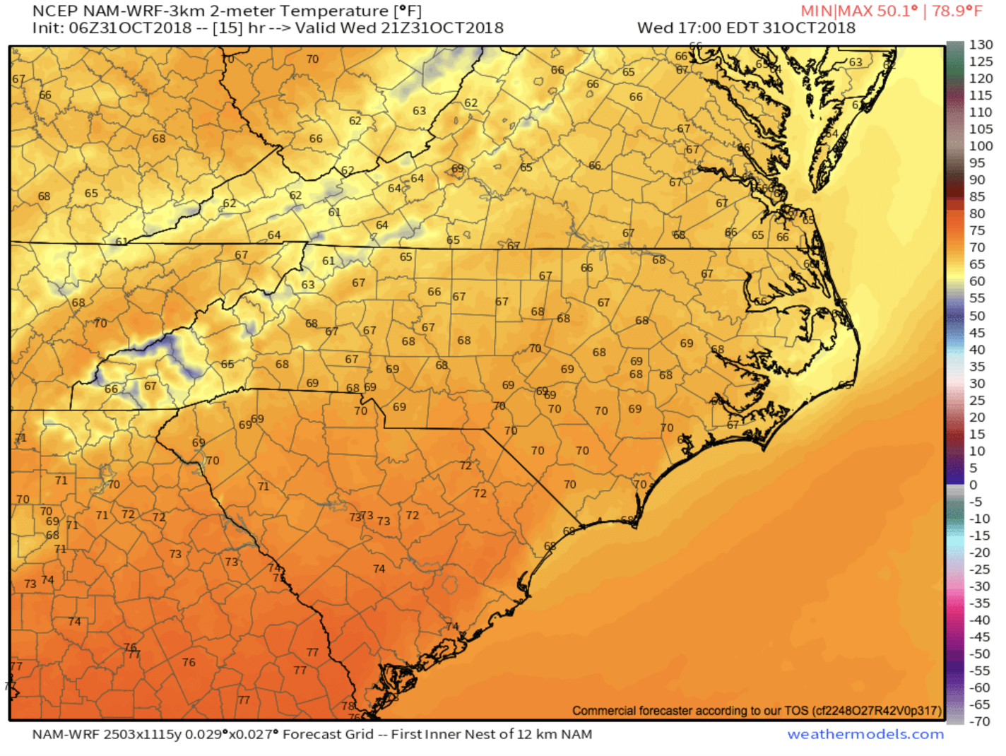
Saturday Temps 3km NAM courtesy of Weathermodels.com