Not So Frightful Temperatures
A beautiful Halloween day awaits you today in WNC! Sunshine and mild temperatures are on tap as you head out to your goulish festivities, so have no fear! The real fright though will come with the following storm systems. Over the next week severe weather will be the theme, with strong fronts moving through the area Thursday night into Friday, and then mid next week. These fronts will bring some tornadic activity to parts of the Southeast, but I believe that the threat will be minimal here in WNC.
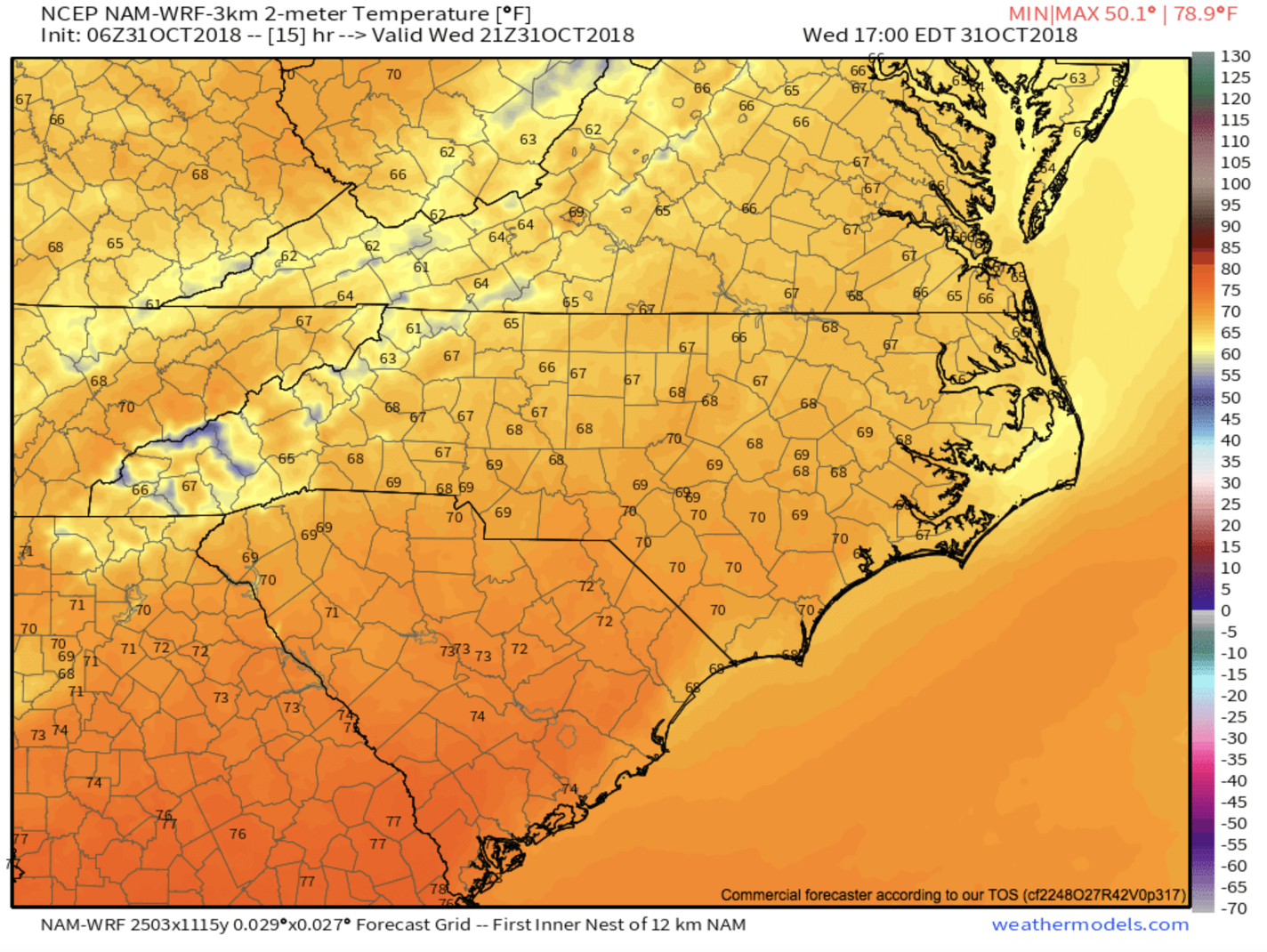
Halloween Temperatures.. Map courtesy of Weathermodels.com.
Below you can see the front moving in late Thursday night. This front will bring heavy rainfall to the area, and some locations could see 1” or more fall. Lightning, thunder, heavy rain, gusty winds over 45mph, and some flash flooding cannot be ruled out. Check back with Ashevillewx tomorrow, we will have a full breakdown of what to expect!

Front Moving In Thursday Evening.. Map courtesy of Weathermodels.com