WNC

Hurricane Florence Makes Landfall On Wrightsville Beach, NC As Cat 1 90mph Storm.

Hurricane Florence has finally made landfall in Wrightsville Beach this morning at aprox 7:15am.  Winds are estimated at 90 mph.   On shore flow has cause extreme flooding in places like New Bern, NC where numerous rescues have taken place this morning.  Florence is expected to creep towards WNC, and eventually cause flooding problems even in the mountains.  Rainfall totals could exceed 10” in some locations along the Eastern Blue Ridge Escarpment.  Ashevillewx will have all the info, so check back this afternoon for another video update!

FullSizeRender.jpg

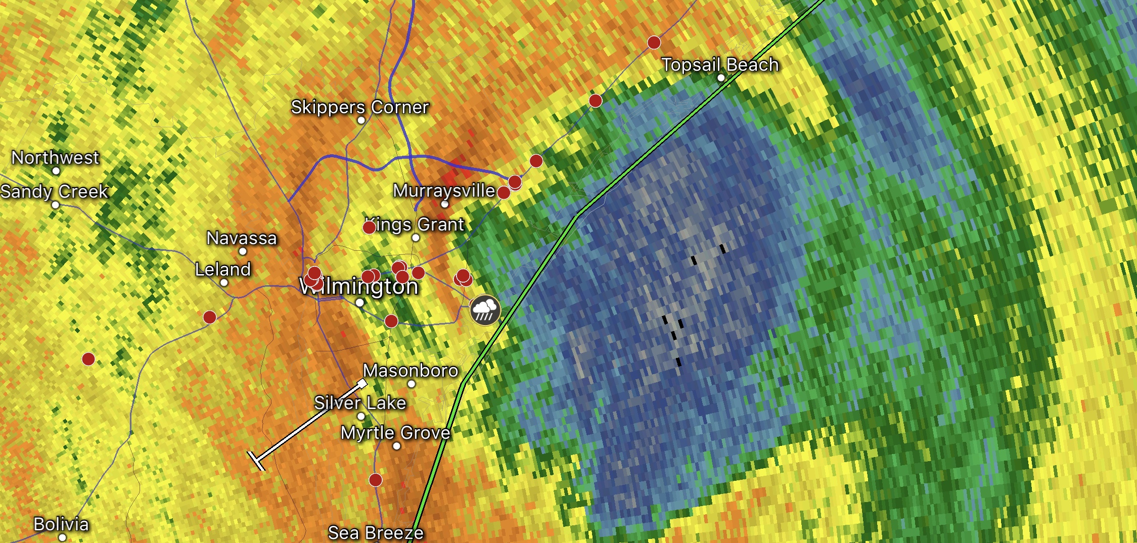
6:36am Wilmington Radar Florence Landfall at Wrightsville Beach, NC. 

Gordon Becomes First US Landfalling Tropical System of 2018 Season

Gordon Becomes First US Landfalling Tropical System of 2018 Season

Tropical Storm Gordon has developed just off the Gulf Coast of the US and will move onshore later this evening and into tomorrow.  Some models suggest that winds could be in excess of 70 mph, which would make Gordon the first landfalling Hurricane of the 2018 season.  

How will excessive amounts of rain this year affect Fall color around WNC?

How will excessive amounts of rain this year affect Fall color around WNC?

The short answer is yes, it will.  Unfortunately, abundant rainfall is not part of the recipe for vibrant fall color in WNC, simply because it prolongs the process.  Chlorophyll is supplied to the leaf a few days longer compared to normal, and the cork barrier struggles to form.  Typically during late October and early November we will have a strong line of storms move through WNC.  Winds gusting over 40mph blow off these leaves that have just begun the color changing process, and we never get to see them fully change.

Can Asheville Break The All Time Yearly Rainfall Record This Year?

Can Asheville Break The All Time Yearly Rainfall Record This Year?

 As fronts race across the US, they are met with the resistance of a moist, southerly flow.. and storm development occurs.  Dominate high pressure has consistently developed off the Southeast Atlantic Coast during 2018, and this is what has caused the excessive surge of moist air.