
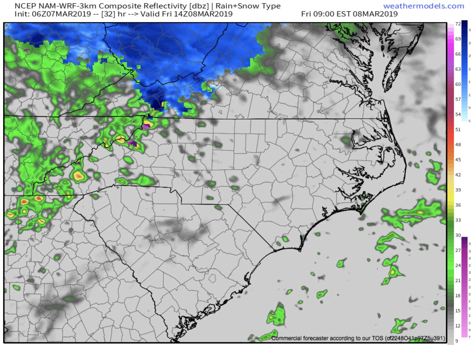
I hope that you enjoyed your three days of dry weather around WNC, because this weekend will once again be soggy. Another round of rainfall will move through tomorrow, and higher elevation locations above 3500’ could see some snowfall from this. I cannot rule out some snowflakes/sleet mixing in late tonight or early tomorrow morning around WNC, but the chances are much greater above 3500’. Roadways have been cold as of late, so it will be interesting to see how the dry air aloft comes into play as the precipitation begins, and what form of precipitation falls at the onset. The earlier that the precipitation moves in, the better chance there will be for some form of wintry precipitation to mix in. Dry air will also allow some wetbulbing to occur, and that also complicates the p-type forecast. Below you can see the most recent 3km NAM precipitation depiction. It shows those higher elevation locations seeing frozen precipitation tomorrow morning.
3km NAM Precipitation Depiction For Friday 9am Courtesy of Weathermodels.com

Tax Stress?
Dont sweat it! Trust the local pros at C.P. Kruse & Co., they can handle all of your accounting need! Call them at (828)684-7374 or visit Kruseaccounting.com
Heavy Rain Expected Tomorrow Afternoon
Cold air will quickly erode tomorrow morning, and then heavy rain and even a few claps of thunder will be possible Friday afternoon as a strengthening front pushes through the area. Below you can see the 3km NAM radar depiction for tomorrow afternoon. Notice the strong storms around Haywood & Henderson Counties. These will likely develop in Eastern TN and push through all of WNC sometime tomorrow afternoon. Upwards of 1” of rainfall will be possible as these storms move through, and that will only be round one of the rainfall moving forward into this weekend.
Nam 3km Radar Depiction For Tomorrow Afternoon Courtesy of Weathermodels.com
More Showers/Storms Possible Saturday and into Sunday
Another front will push through the area beginning early Saturday afternoon and persist through a portion of the day Sunday. It remains to be seen exactly how long this front will linger around WNC, but some short range models have some redeveloping showers late Sunday. This would further flash flood concerns. I could see many locations picking up 2”+ of rainfall over the next 3-4 days. So an active weekend of weather is on tap for WNC, and minimal sunshine appears to be on the table unfortunately.. Check back soon for another update, and check out the WNC Webcams to see what the weather is doing around WNC!

