
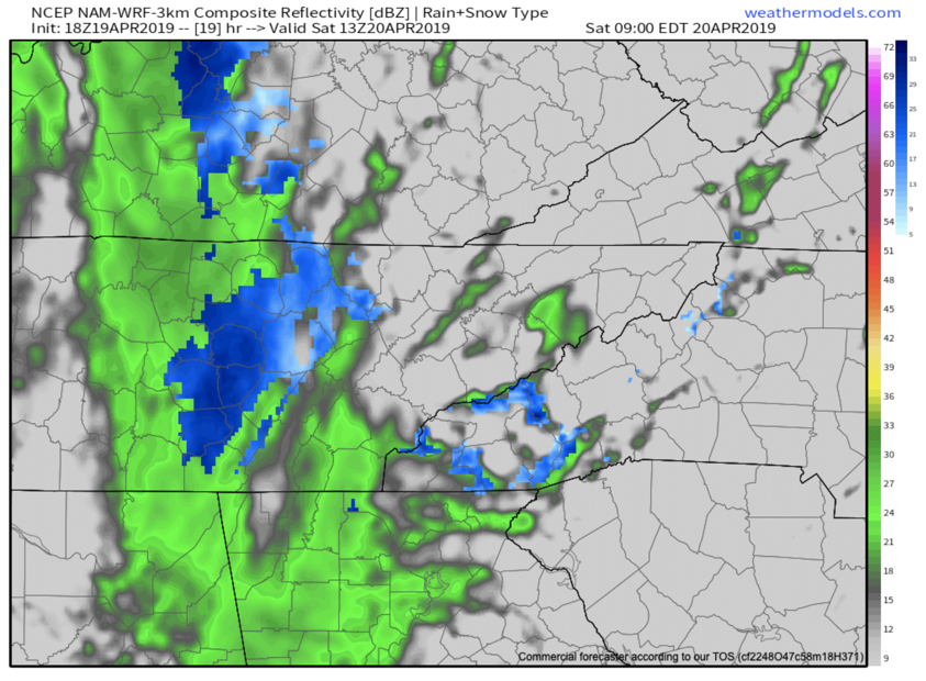
After this dynamic system dropped over 5” of rainfall for many in WNC, the backside will bring the chance for snow showers for some tomorrow morning. Below you can see a depiction a the most recent NAM 3km, and it shows some snow showers building in SW WNC tomorrow morning. I am still not certain exactly where this band will set up, but it does appear that some snowflakes will be possible below 3000’ in isolated valleys. High elevation locations(above 4500’) will likely see a few inches of snow accumulation.. but that will melt off quickly by Sunday. All and all this appears to be somewhat of a low impact backside event, but some surprise snowflakes are certainly possible. Below you can see the most recent Nam 3km precipitation depiction.


Call Matt at (828)772-9778 and tell him that Hunter sent you or visit their facebook page here!
18z Nam 3km Precipitation Depiction Courtesy of Weathermodels.com
Temps Rebound Into The 60’s Sunday
Don’t cancel the Easter plans just yet! Models show temperatures rebounding into the upper 50’s or lower 60’s! After this upper level low exits, so will the cold temperatures and next week will be nice to begin the week. Be sure to check the AshevilleWX Weather Cameras tomorrow morning to see if and where snow is falling. Have a great weekend!

